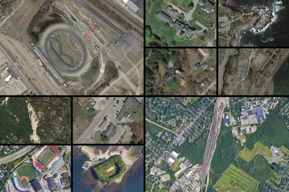
Do You Recognize These 10 Famous Locations in Maine From Above?
We live in amazing times. With the technology that we have in the palm of our hands, we can look up practically any place in the world and see what it looks like thanks to Google Maps. Not only can we see what it looks like from the ground with Google Streetview, but we can also see what it looks like from satellite photos, a view we rarely ever saw until the last few years.
Using Google Maps and the satellite view, I searched for 10 famous locations in Maine to see what they look like from above. Some you may have heard about or seen for yourself from the ground. Others may be new to you, but either way, these photos provide a unique view of places in Maine that all have a story.
See if you can guess what each of these places are by scrolling slowly to not reveal the answer below the photos.
10 Famous Places In Maine Seen From Above
More From


